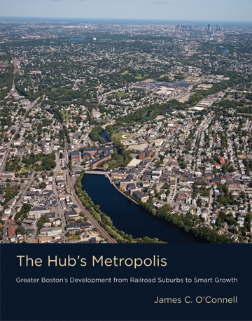
The Hub’s Metropolis
Greater Boston's Development from Railroad Suburbs to Smart Growth
By James C. O'Connell
Winner, 2015 International Author Award given by Lambda Alpha International
Boston’s metropolitan landscape has been two hundred years in the making. From its proto-suburban village centers of 1800 to its far-flung, automobile-centric exurbs of today, Boston has been a national pacesetter for suburbanization. In The Hub’s Metropolis, James O’Connell charts the evolution of Boston’s suburban development. The city of Boston is compact and consolidated — famously, -the Hub.- Greater Boston, however, stretches over 1,736 square miles and ranks as the world’s sixth largest metropolitan area. Boston suburbs began to develop after 1820, when wealthy city dwellers built country estates that were just a short carriage ride away from their homes in the city. Then, as transportation became more efficient and affordable, the map of the suburbs expanded. The Metropolitan Park Commission’s park-and-parkway system, developed in the 1890s, created a template for suburbanization that represents the country’s first example of regional planning. O’Connell identifies nine layers of Boston’s suburban development, each of which has left its imprint on the landscape: traditional villages; country retreats; railroad suburbs; streetcar suburbs (the first electric streetcar boulevard, Beacon Street in Brookline, was designed by Frederic Law Olmsted); parkway suburbs, which emphasized public greenspace but also encouraged commuting by automobile; mill towns, with housing for workers; upscale and middle-class suburbs accessible by outer-belt highways like Route 128; exurban, McMansion-dotted sprawl; and smart growth. Still a pacesetter, Greater Boston has pioneered antisprawl initiatives that encourage compact, mixed-use development in existing neighborhoods near railroad and transit stations. O’Connell reminds us that these nine layers of suburban infrastructure are still woven into the fabric of the metropolis. Each chapter suggests sites to visit, from Waltham country estates to Cambridge triple-deckers.
Reviews
“A riveting history of one of the nation’s most livable places—and a roadmap for how to keep it that way. James O’Connell’s wealth of knowledge about Greater Boston makes him the perfect guide for understanding this extraordinary metropolitan region, from celebrated urbanism to pastoral retreat.” —Anthony Flint, Fellow, Lincoln Institute of Land Policy
“A welcome addition to the venerable literature on patterns of suburban development around Boston. Comprehensive and readable … [makes] real connections between planning history and the world we move through every day.” —Ethan Carr, author of Wilderness by Design and Mission 66: Modernism and the National Park Dilemma
“James O’Connell’s comprehensive overview of sprawl and development in Metropolitan Boston over the past two centuries puts into context the significance and timeliness of smart growth and transit-oriented development in the region. He provides interesting examples of how sustainable growth could strengthen our region’s economic competitiveness, improve social equity, and address impacts of climate change.” —Marc Draisen, Executive Director, Metropolitan Area Planning Council